Location Intelligence is the process of analysing data with a location as a dominant factor. It allows the brands to explore simple yet important characteristics typical to a particular location. For decades now, businesses have utilized location as part of their research or analysis in its most rudimentary form. It is commonly estimated that more than 80% of data analysed by companies across the world have a location component to it.
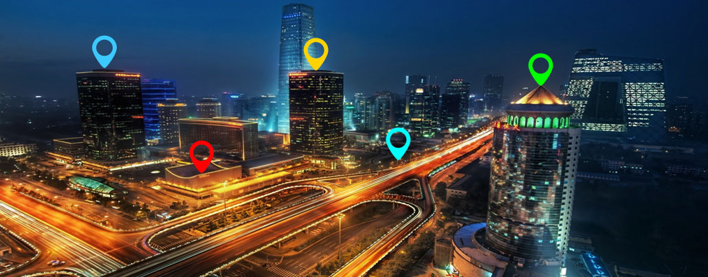
However, today with the penetration of IoT across the globe, businesses are equipping themselves to dig deeper into the data insights with Location Intelligence capabilities. In the near future, Location Intelligence has the potential to evolve into a complete analysis division alongside Business Intelligence components.By leveraging insights from Location Intelligence, firms can detect patterns, opportunities, glitches and risks for themselves corresponding to a given area of operations.
Business expansion with Location Intelligence Get Details
Location Intelligence also enables businesses to address specific business concern or query. For example, with the cab pooling concept internet enabled cab providers can easily pool as many as 4 ride requests for one cab and instantly draw the best route for cab drivers to follow. This concept has created a win-win situation for the company, its customers and the drivers. Without any human intervention, the company is able to seamlessly address a very high volume of cab pool requests on a daily basis. There are multiple examples of how LI can offer very specific benefits to a firm that enables them to reduce cost, improve revenues, and do much more.
Location analytics helps organisations to identify local trends, patterns, and opportunities.It gives platform to business to adapt according to consumer needs to understand their lifestyles and ensures profitability.It is the process to give insight on geographiclocation and give enterprises a medium to understand historical data and analyze in real time.Logistics companies can reap maximum benefit out of it, as they need to track locations for delivery vehicles and package sin real time.Many advantages can be foreseen if location analytics is used by organisations like harness the power of data, empowers staff expertise,enhances marketing decisions,improving site selection and uses historical spending trends.
How retail chains employ Location Intelligence to connect with customers Get Details
Lepton is a leader in Geodata (rfMap) for wireless network planning & optimization including solutions. We are partnered with Pitney Bowes for their product Map Info which is the world’s premier desktop GIS (Geographic Information System) & GIS mapping application.
We are a leading provider of fiber planning and inventory solution, NetworkAccess to major Telecom, ISP’s & Broadband providers with more than 65% market share in India. Lepton is also Google Maps premier partner for more than 10 years in India, Middle East & Singapore. We have supported 500+ companies in their growth journey since its inception across other verticals like FMCG, Logistics & Transportation, Govt., Automotive etc.
Comments
Post a Comment